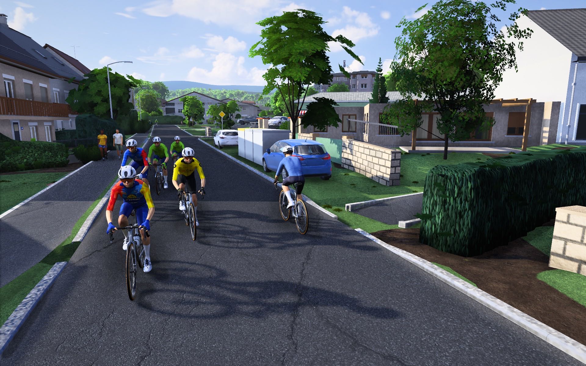
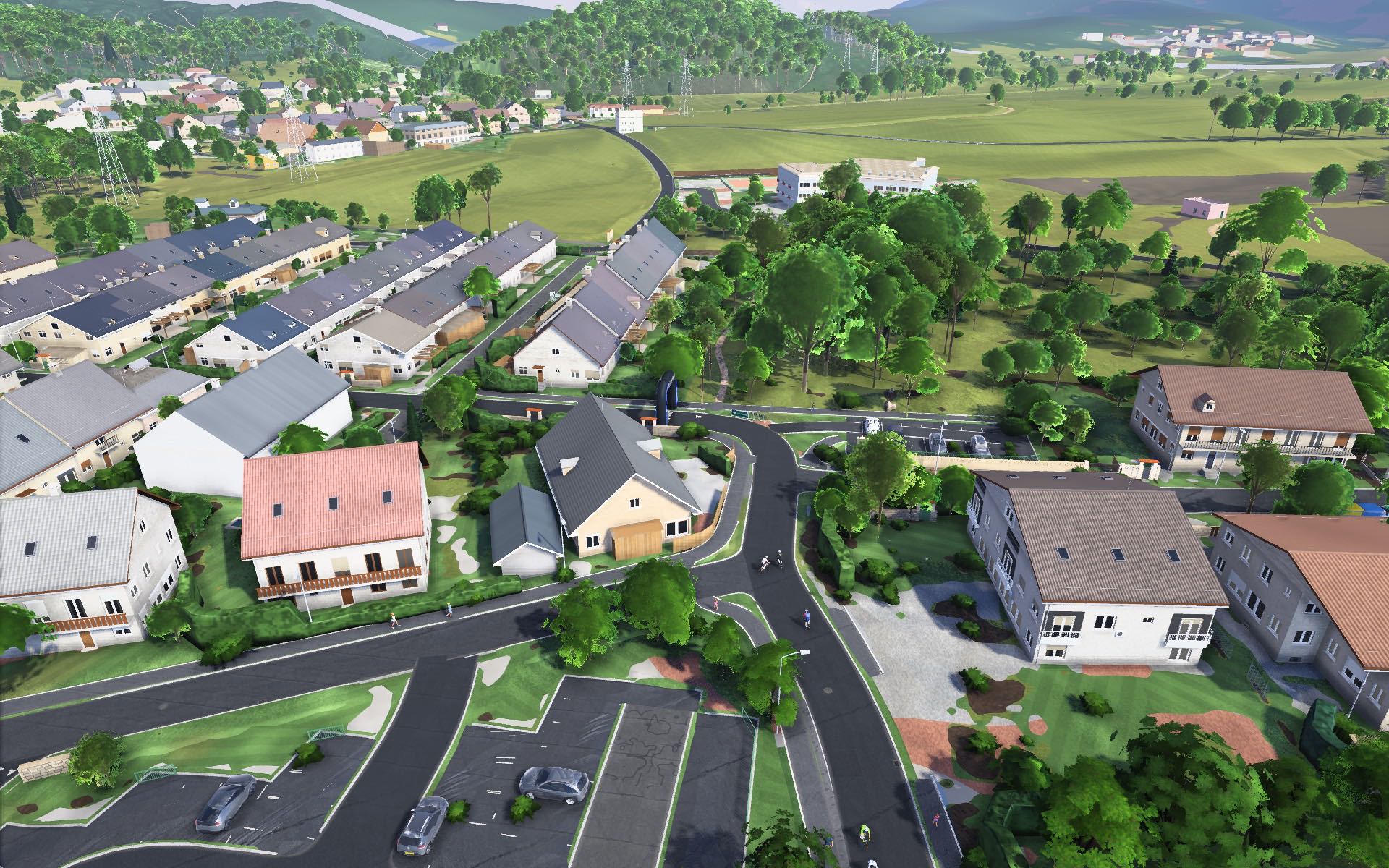
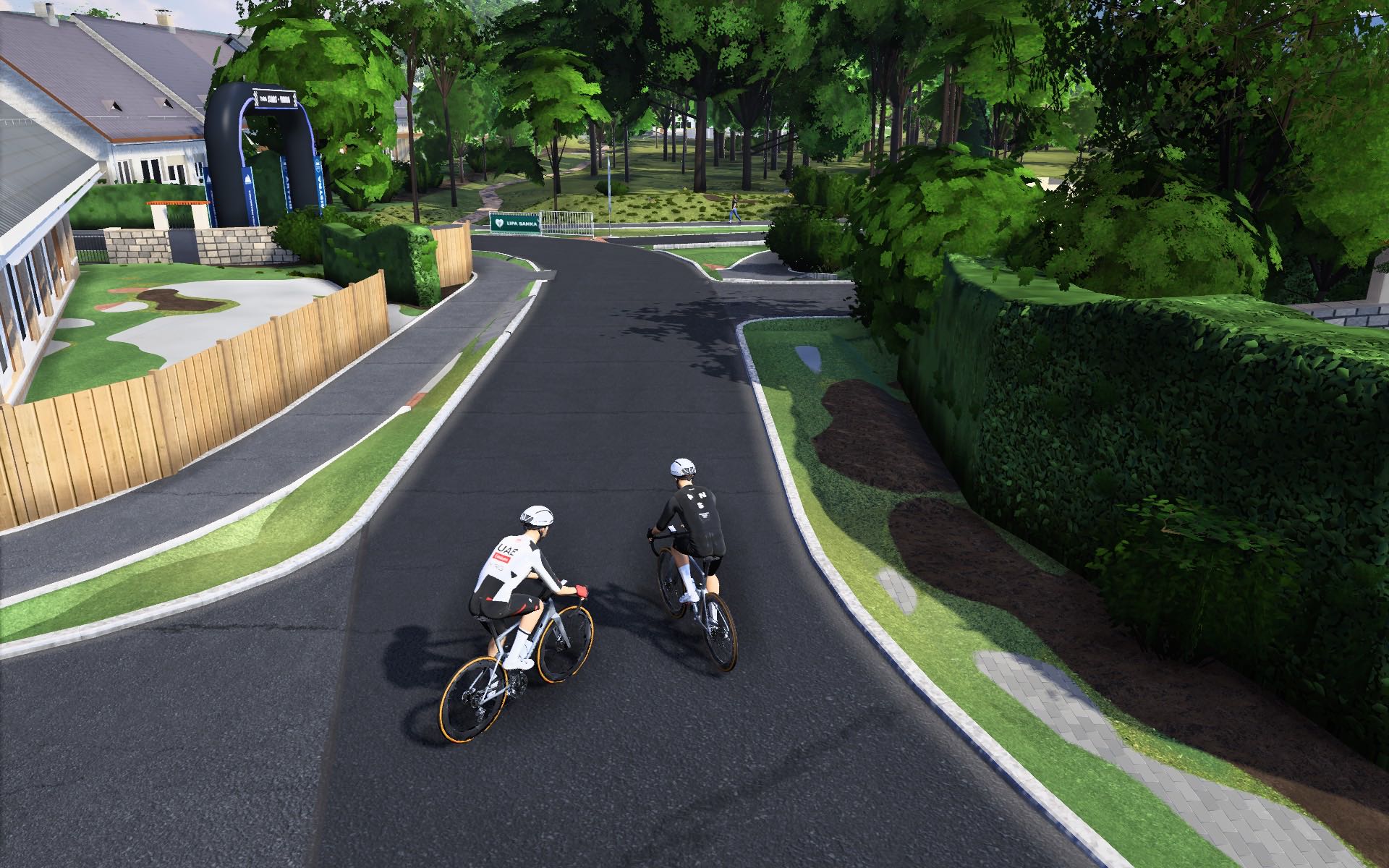
Toško Čelo
The city's own climb, straight out of Podutik: 2.9 km at 8 % with a 16 % ramp, then on over Katarina and down to Medvode.
Ljubljana and around
The hills Ljubljana rides after work.
Ljubljana and the country around it, as local riders know it, built from Slovenia's national LiDAR and building register: the Polhov Gradec hills, Šmarna gora above the Sava, the flat Ljubljana Marshes with Krim and Kurešček over them, and Janče to the east.
The city's own climb, straight out of Podutik: 2.9 km at 8 % with a 16 % ramp, then on over Katarina and down to Medvode.
Ljubljana's favourite hill, from Zavrh: 2.1 km at 13 %, with ramps over 20 %: short, and the hardest few minutes around the city.
Črni Vrh, Pasja ravan and Gradišče below Grmada: small roads through beech woods and farms, climbs of every length up from the Gradaščica valley.
Dead flat and wide open, out to Ig, Podpeč and Vrhnika, for the days you want to ride hard on your own. Krim and Kurešček rise right out of it.
East of the city: up the Besnica valley to Janče, down to the Sava and home along the river through Kresnice and Laze.
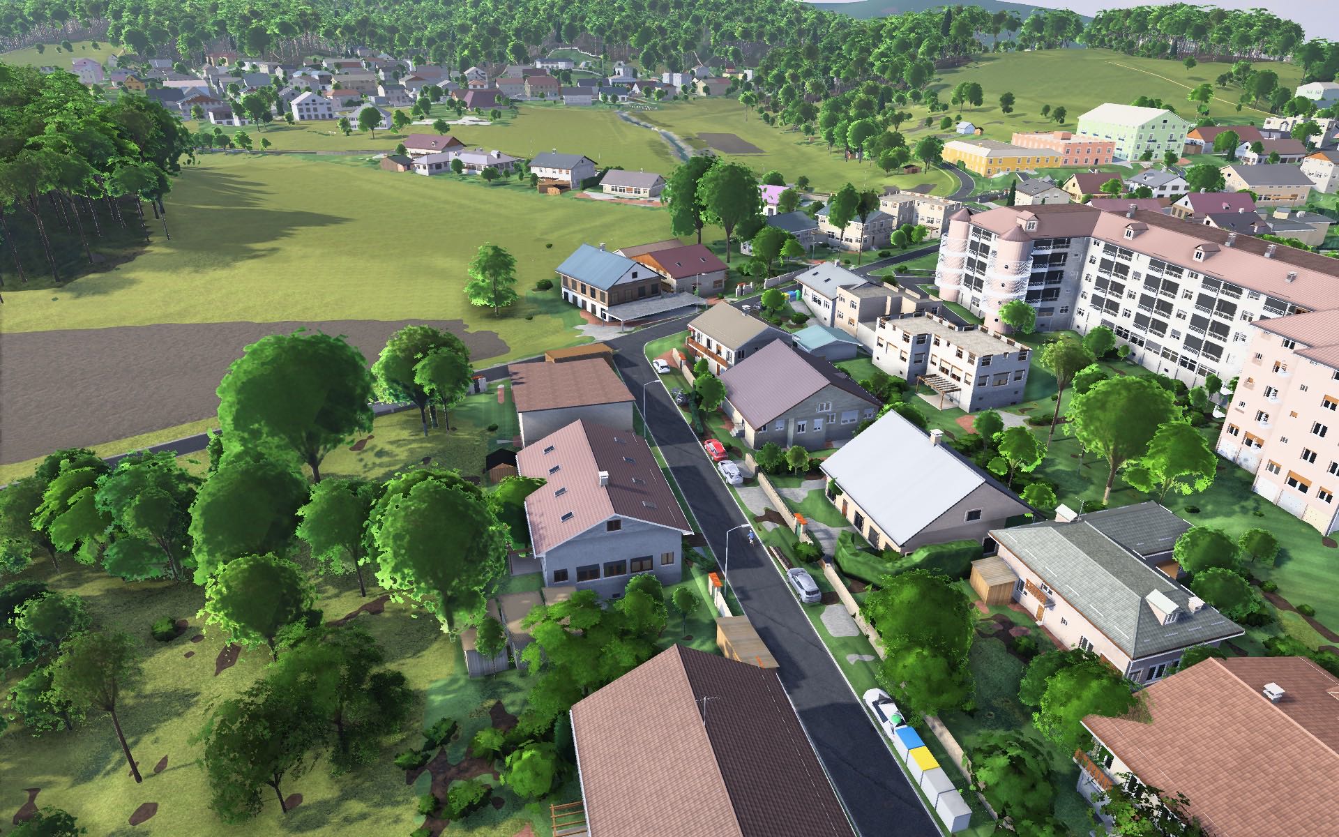
In Krivec every house, kerb and fence stands where it does in life: built from the national building register and laser scans.
Timed segments: any ride along one is timed, against your best and a reference pace.
from Zavrh
from Podutik
from Polhov Gradec
Every route in the world, climbs in orange. Pick one to see where it goes.
In Tura choose Ride → Download worlds after the first start.
Download for Mac